
Hello Figma Team,
I’m trying to use a global map interface and place location pins/dots for outbreaks. It’s just a prototype for my pandemic prevention project but I basically want a map where you can select these pins/dots that are interactive on the map and pull up details of the outbreak zones.
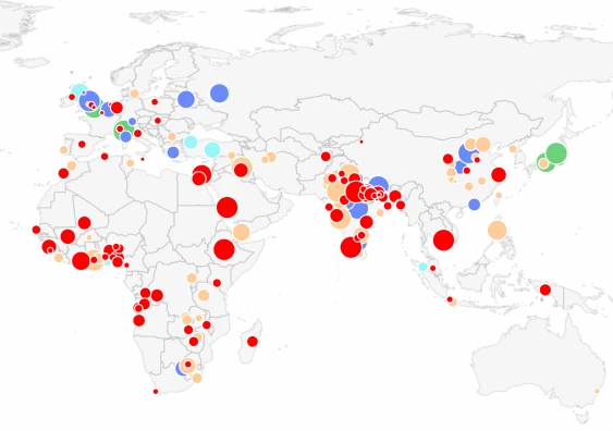
Example:
Thank you.
Kind regards,
Nandini Singh